STSPLUS / ACADEMIC WORLD TOUR
LOADINGLoading the world tour…
Sun overheadSunrise / sunset
FlightTrainCarFerryLink TBD
22 SEP 202611 NOV 2026
Keyboard controls
W: world map · O: globe · Space: pause globe · A / D: turn globe · 1–7: regions · ← / →: travel legs · R: redraw · Home: reset.
N: live now · P: play timeline · [ / ]: one day · − / +: one hour · , / .: previous / next event · F: focus location.
Original STSPLUS coastlines · Road & rail © OpenStreetMap contributors · City coordinates: GeoNames / OurAirports
University visits
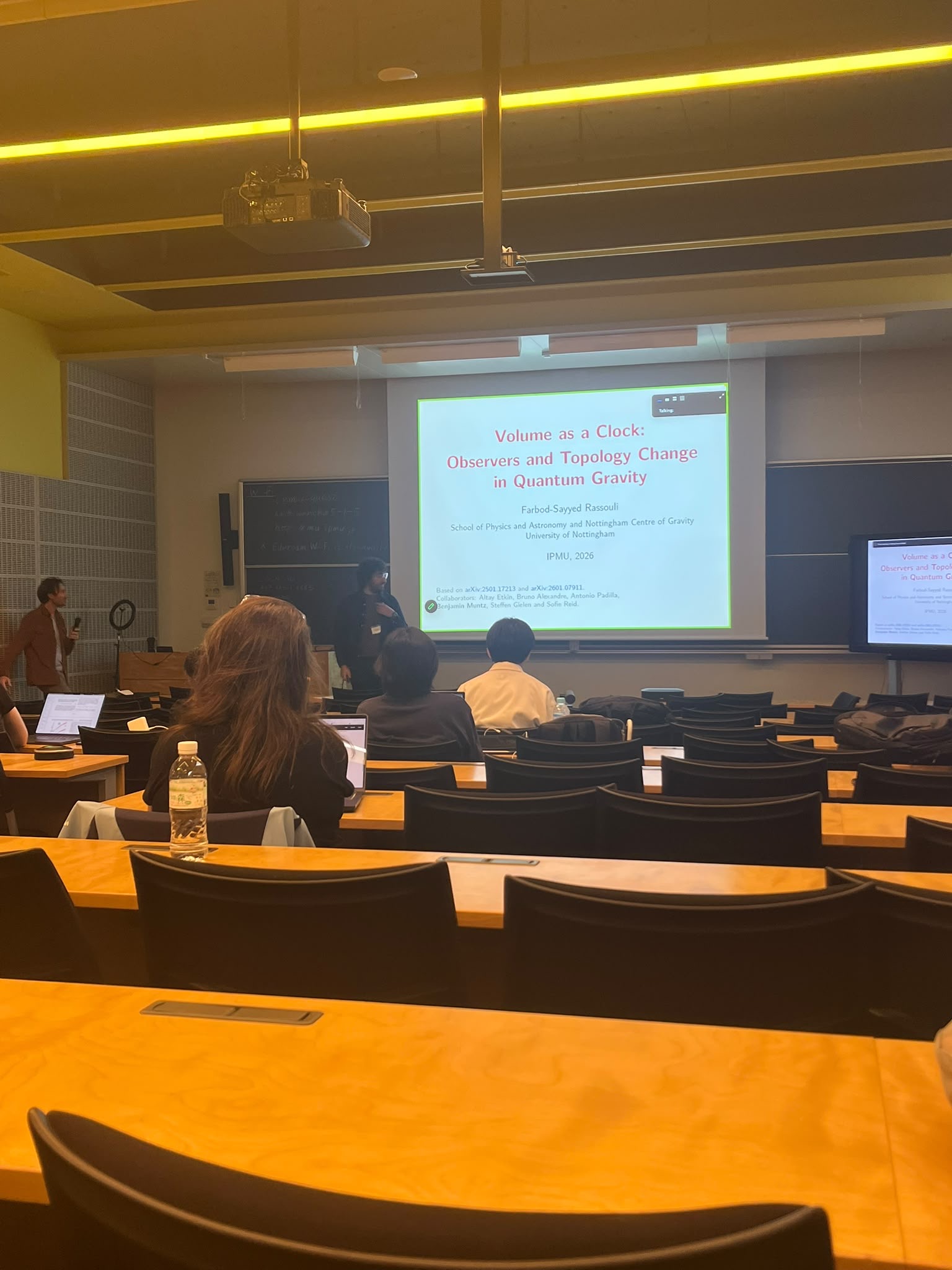
Two talks at Kavli IPMU
Kavli IPMU, The University of Tokyo
-
Volume as a Clock: Observers and Topology Change in Quantum Gravity
-
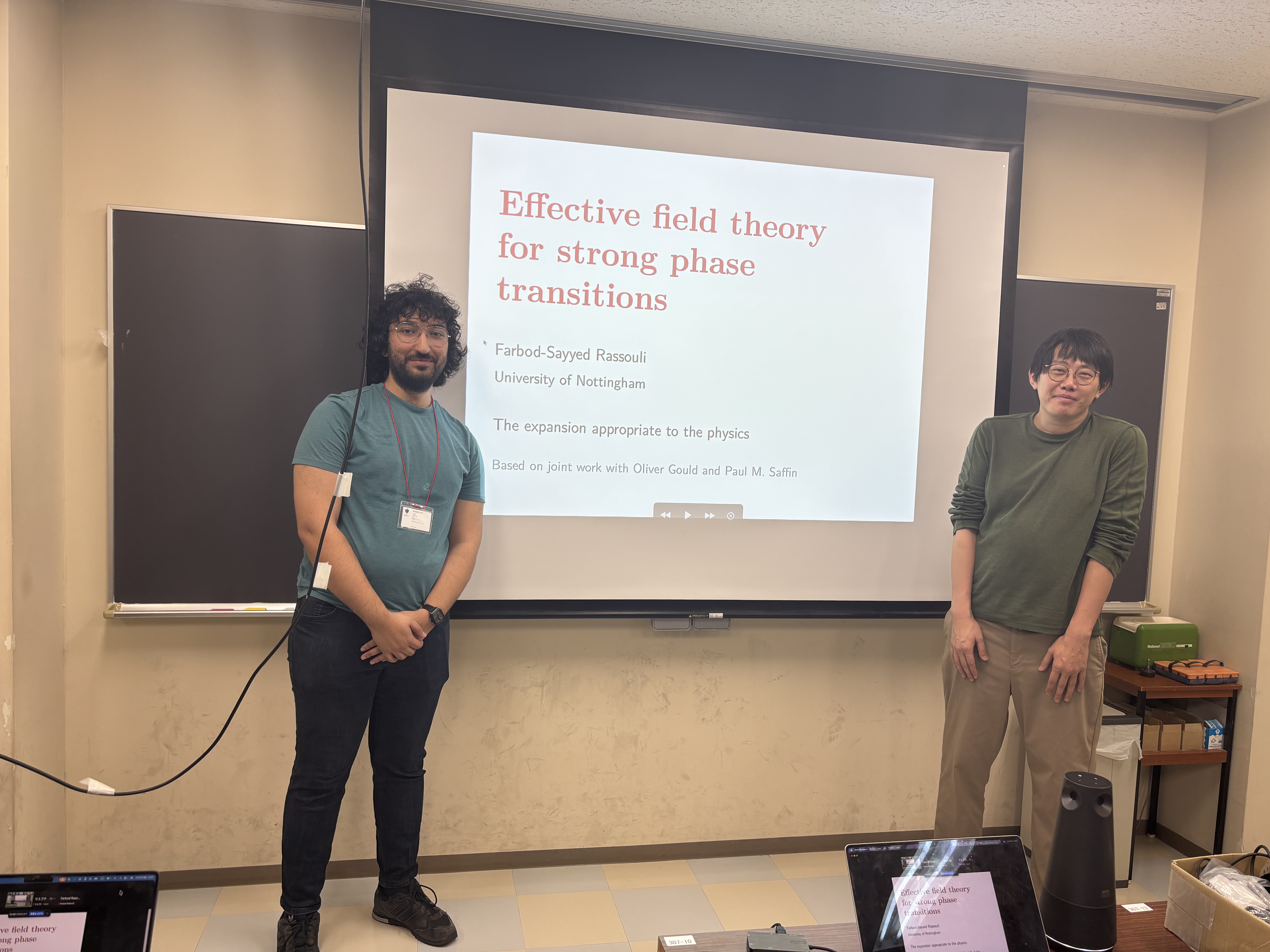
EFT’s for Strong Phase Transitions
In appreciation
A tribute to STSPLUS
This globe is a tribute to STSORBIT PLUS (STSPLUS), the Space Shuttle and satellite tracking software created by David H. Ransom, Jr.
Its distinctive maps, vivid colours and line-by-line drawing brought orbital motion to life. This page carries that visual spirit into an academic world tour, using the original STSPLUS coastlines.
With thanks to David Ransom for his work, and to T. S. Kelso and CelesTrak for preserving it.
Visit the original STSPLUS website, preserved by CelesTrak ↗